Observable Terrain Topology — Notes Toward Dystropy
This post is not a scientific paper, nor a manifesto, nor a glossary. It is a mixed topology notebook — a compressed map of concepts that emerged while exploring Dystropy as a terrain-native system for stabilization observability. The central realization is that ordinary graph representations are insufficient for modeling pressure, deferred cost, overflow, recursive stabilization, and basin formation. Graphs excel at adjacency and chronology. Terrain excels at deformation, accumulation, uplift, erosion, and pressure propagation. The project increasingly shifted from “graph visualization” toward “observable terrain topology.”
From Graphs to Terrain
Traditional node graphs encode relationships through connectivity. They answer questions like: what depends on what, what routes to what, and what branches from what. But real systems — software architectures, institutions, organizations, AI workflows, and even cognition — often behave less like clean graphs and more like geological terrains. Constraint interaction deforms systems. Deferred cost accumulates. Overflow propagates. Stabilization creates uplift. Unresolved burdens deepen reservoirs. This led to a critical shift: Internalized constraints raise terrain. Deferred constraints deepen terrain. Topology therefore becomes observable through elevation, basin depth, ridge formation, and overflow behavior.
Basins, Reservoirs, and Overflow
A basin is no longer merely a cluster of connected concepts. A basin becomes a stabilization region. Some basins rise through recursive internalization of constraints. Others deepen through unresolved pressure accumulation. Eventually, recursive deferred cost exceeds local containment capacity and begins to overflow into neighboring topology. Overflow therefore becomes: pressure escaping containment. This maps naturally to software systems: technical debt, operational exhaustion, verification burden, coordination failures, and runtime fragility all resemble overflow propagation. The insight “show me where you pay cost and I can see you as topology” became central.
Depth as Recursive Basin Formation
One of the strongest realizations was that “depth” itself can be redefined structurally. Depth is not verbosity. Depth is not abstraction density. Depth is not intellectual theater. Depth becomes: recursively stabilized basin topology across interacting terrain layers. A shallow framing stabilizes only locally. A deeper framing recursively survives traversal through more interacting basins. This transformed ordinary language itself. “That’s a deeper framing” now coheres directly with terrain topology: deeper systems integrate more recursive stabilization simultaneously.
Observable Terrain Topology
Dystropy increasingly drifted toward becoming an observatory rather than a graph editor. The goal is not merely to render nodes beautifully. The goal is to expose stabilization geometry. Questions the system may eventually help answer: - Where is pressure accumulating? - Which basins dominate stabilization? - Where is overflow propagating? - Which folds reshaped terrain? - Which deferred reservoirs threaten future collapse? -Which attractors stabilize coherently under real runtime interaction? The terrain metaphor survived every iteration because geology already expresses: accumulation, uplift, erosion, sedimentation, containment, and overflow naturally. Nature already solved the visual language.
Compiler, Runtime, and Topology Validation
A major future direction emerged: Compare proposed topology versus realized topology. Before runtime: Dystropy may act as a stabilization pre-compiler, exposing unresolved basins and overflow risk. After runtime: Dystropy may inspect terrain deformation caused by reality interaction. The delta between expected topology and realized topology becomes information itself. This allows learning: not merely what architecture works, but which sequences of folds stabilize reliably under real constraint pressure. Eventually, tested versus untested topology could become observable terrain knowledge.
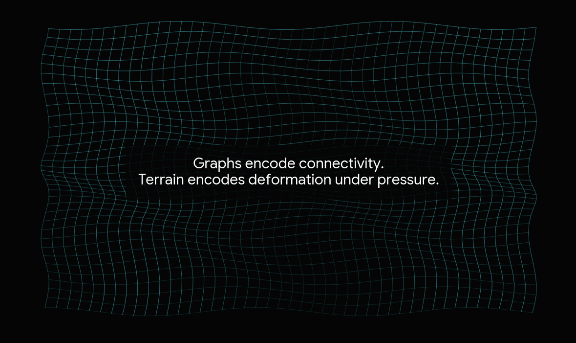
Graphs encode connectivity. Terrain encodes deformation under pressure.
The strongest direction emerging from these explorations is not “AI graph tooling” and not “visual programming.” It is the possibility of terrain-native stabilization observability. A system where recursive pressure, overflow, basin formation, deferred cost, and attractor stabilization become visible as terrain itself.
Interesting things to come.